

7.2906° N, 80.6337° E
Kandy
The hill capital and home to the Temple of the Sacred Tooth Relic.
Explore Destination →7.9570° N, 80.7603° E
Central Province — the Cultural Triangle
Best Time to Visit
December to April (dry season, cooler mornings)
Suggested Stay
2–3 days
Distance
Around 170km / 4 hours from Colombo
Coordinates
7.9570° N, 80.7603° E
Overview
Sigiriya's rock fortress rises 200 metres out of flat jungle, and it earns every one of the photos you've already seen of it. King Kashyapa built his 5th-century palace on top of a granite monolith, decorated the rock face with frescoes, and left behind giant lion's-paw gateway carvings that still frame the final climb. Go early — the stairs are exposed and the afternoon sun is brutal — and pair it with Pidurangala Rock at sunset for the view looking back at Sigiriya itself.
Don't Miss
1,200 steps, ancient frescoes, and water gardens at the base. Start by 7am.
A shorter climb with the single best view of Sigiriya from across the jungle.
Elephant-gathering season (Aug–Oct) is one of Asia's great wildlife spectacles.
A short drive away — five caves of Buddhist murals and statues carved into rock.
Getting There
Private car or organised transfer from Colombo (via Dambulla), or as part of a Cultural Triangle route from Kandy. Most travellers base themselves in nearby Dambulla or Habarana.
Pair It With
7.2906° N, 80.6337° E
The hill capital and home to the Temple of the Sacred Tooth Relic.
Explore Destination →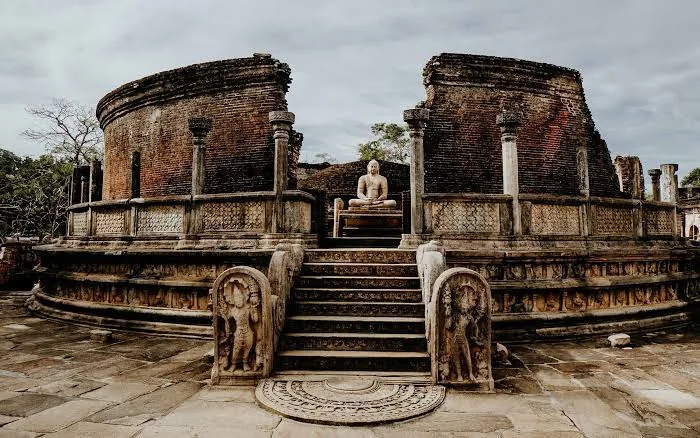
7.9403° N, 81.0188° E
Well-preserved ruins of the island's medieval capital.
Explore Destination →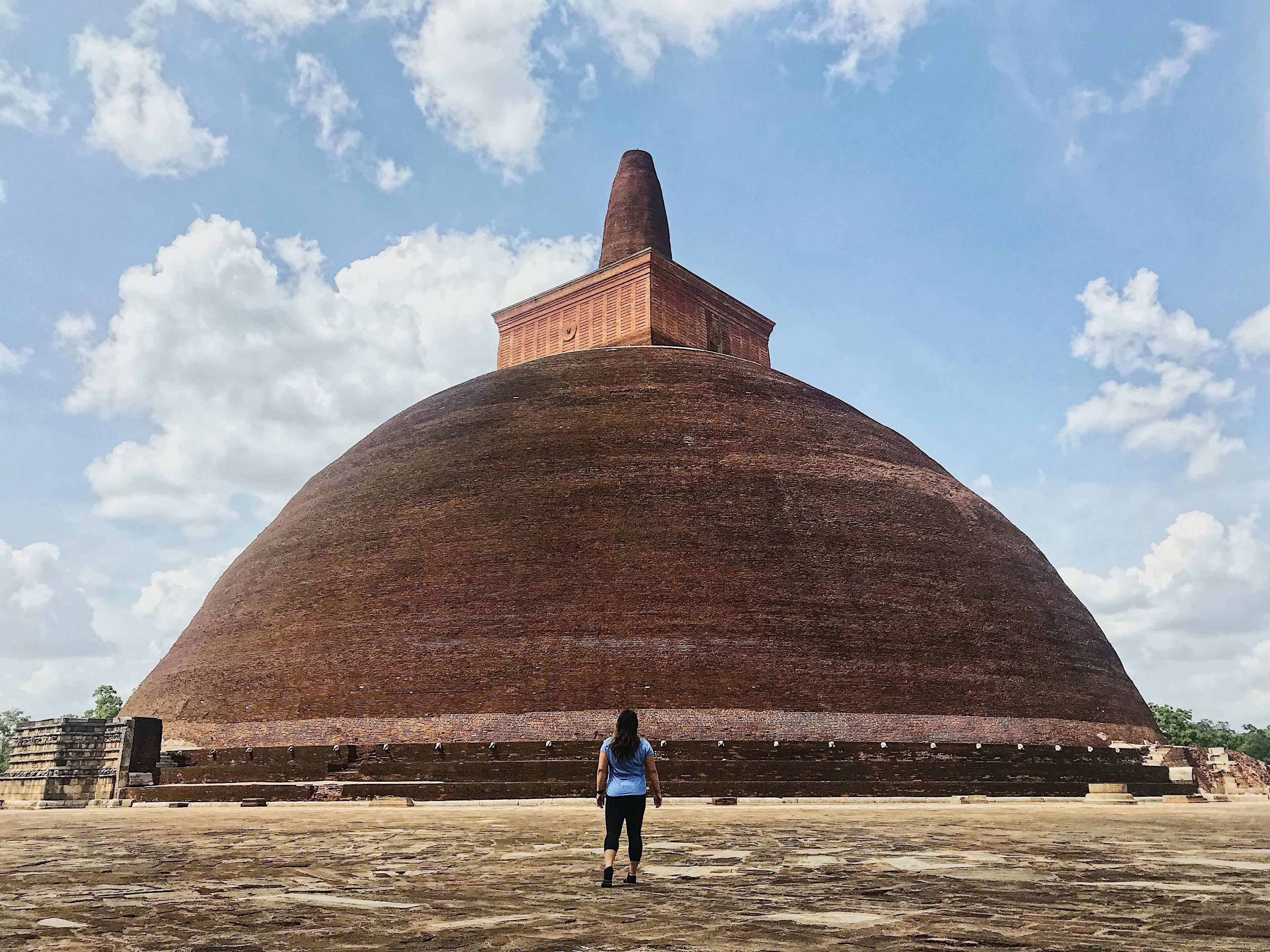
8.3114° N, 80.4037° E
Sri Lanka's ancient first capital and sacred city.
Explore Destination →Ready to Plan?
Tell us your dates and interests and we'll fold Sigiriya into a private itinerary — alongside as much or as little of the rest of the island as you want.
Plan My Trip