

7.9570° N, 80.7603° E
Sigiriya
A 5th-century rock fortress rising 200m above the jungle, with frescoes and water gardens.
Explore Destination →7.9403° N, 81.0188° E
North Central Province — Sri Lanka's medieval capital
Best Time to Visit
May to October (least rain); December to March also workable but busier
Suggested Stay
Half a day to a full day — often a day trip from Sigiriya
Distance
Around 60km from Sigiriya; roughly 220–230km from Colombo
Coordinates
7.9403° N, 81.0188° E
Overview
Polonnaruwa succeeded Anuradhapura as Sri Lanka's capital in the 11th century and reached its peak under King Parakramabahu I, who built the vast Parakrama Samudra reservoir that still irrigates the region today. Compared to Anuradhapura, it's smaller, better preserved, and easier to cover in a single visit — most people rent a bicycle at the entrance and pedal between clusters of ruins through shaded forest paths, with monkeys watching from the trees.
Don't Miss
Four Buddha statues carved directly into a single granite rock face — the site's standout.
The remains of King Parakramabahu's seven-storey palace complex.
A circular relic house with some of the finest stone carving in the Cultural Triangle.
The immense man-made reservoir that shaped the ancient kingdom's economy.
Getting There
Most travellers see Polonnaruwa as a day trip from Sigiriya or Habarana (around 1–1.5 hours by car or tuk-tuk). The site itself is flat and compact enough to explore entirely by rented bicycle.
Pair It With
7.9570° N, 80.7603° E
A 5th-century rock fortress rising 200m above the jungle, with frescoes and water gardens.
Explore Destination →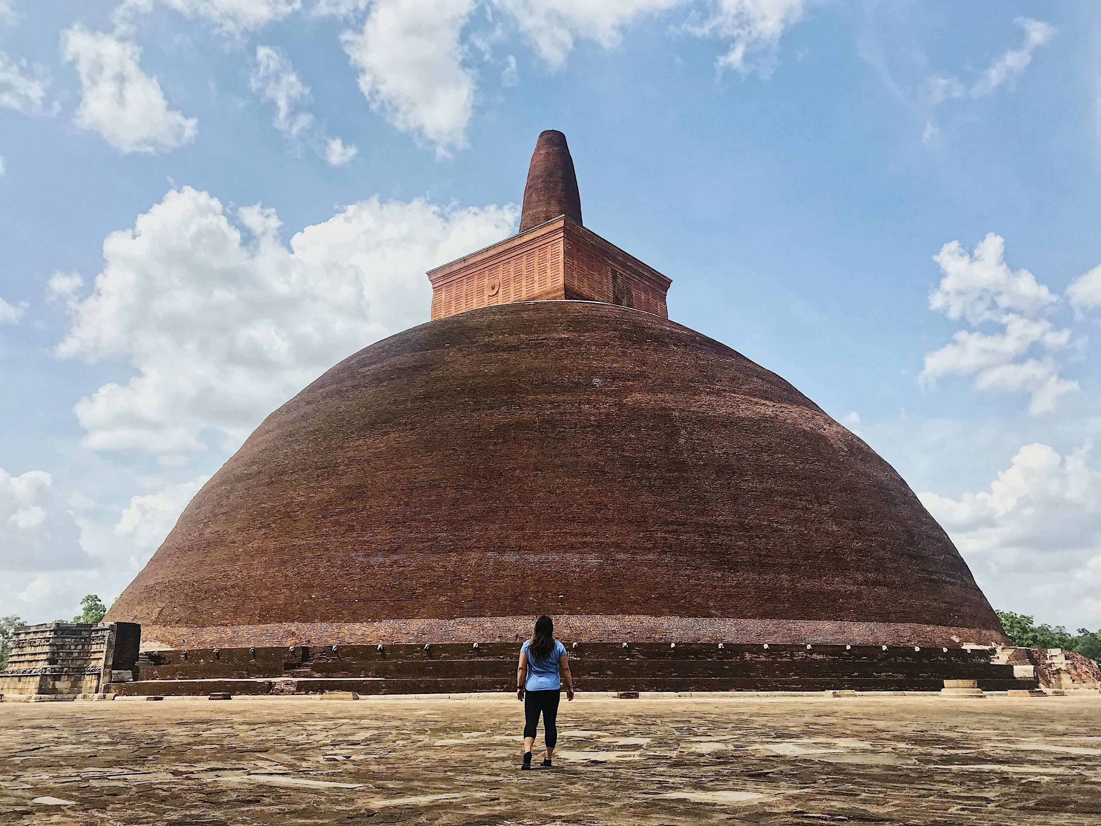
8.3114° N, 80.4037° E
Sri Lanka's ancient first capital and sacred city.
Explore Destination →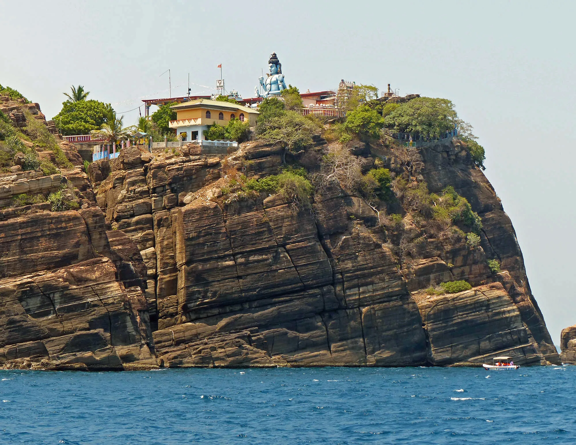
8.5874° N, 81.2152° E
Natural harbour town with pristine east-coast beaches.
Explore Destination →Ready to Plan?
Tell us your dates and interests and we'll fold Polonnaruwa into a private itinerary — alongside as much or as little of the rest of the island as you want.
Plan My Trip