

7.9570° N, 80.7603° E
Sigiriya
A 5th-century rock fortress rising 200m above the jungle, with frescoes and water gardens.
Explore Destination →8.3114° N, 80.4037° E
North Central Province — Sri Lanka's ancient first capital
Best Time to Visit
December to April, with early mornings avoiding the heat
Suggested Stay
1–2 days
Distance
Around 200–205km north of Colombo
Coordinates
8.3114° N, 80.4037° E
Overview
Anuradhapura was Sri Lanka's capital for over 1,300 years and remains one of the most sacred cities in the Buddhist world. The site spans some 40 square kilometres, so distances between monuments are real — most visitors explore by bicycle or tuk-tuk rather than on foot. At its centre is the Sri Maha Bodhi, grown from a cutting of the original tree the Buddha is said to have attained enlightenment under, alongside towering brick stupas that were, for centuries, among the tallest structures on earth.
Don't Miss
A sacred fig tree with a documented history stretching back over 2,000 years.
A gleaming white dagoba, one of the largest and most revered in the country.
Once among the tallest structures in the ancient world, built almost entirely of brick.
A sprawling monastic complex — shadier and quieter than the main sites.
Getting There
Direct trains run daily from Colombo Fort station (roughly 4–5 hours). It also connects easily to Sigiriya and Polonnaruwa as part of a Cultural Triangle route.
Pair It With
7.9570° N, 80.7603° E
A 5th-century rock fortress rising 200m above the jungle, with frescoes and water gardens.
Explore Destination →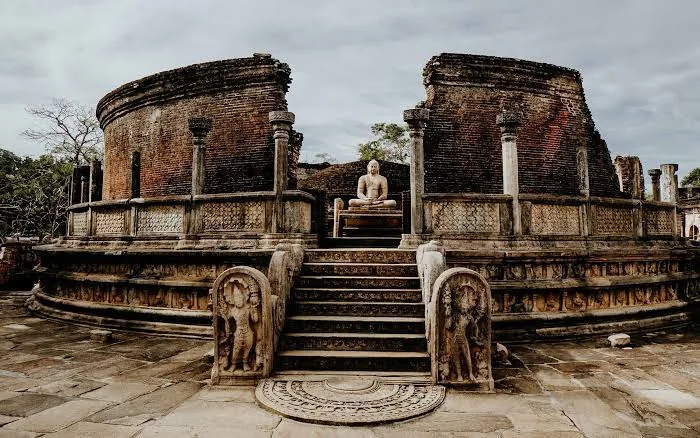
7.9403° N, 81.0188° E
Well-preserved ruins of the island's medieval capital.
Explore Destination →Ready to Plan?
Tell us your dates and interests and we'll fold Anuradhapura into a private itinerary — alongside as much or as little of the rest of the island as you want.
Plan My Trip