
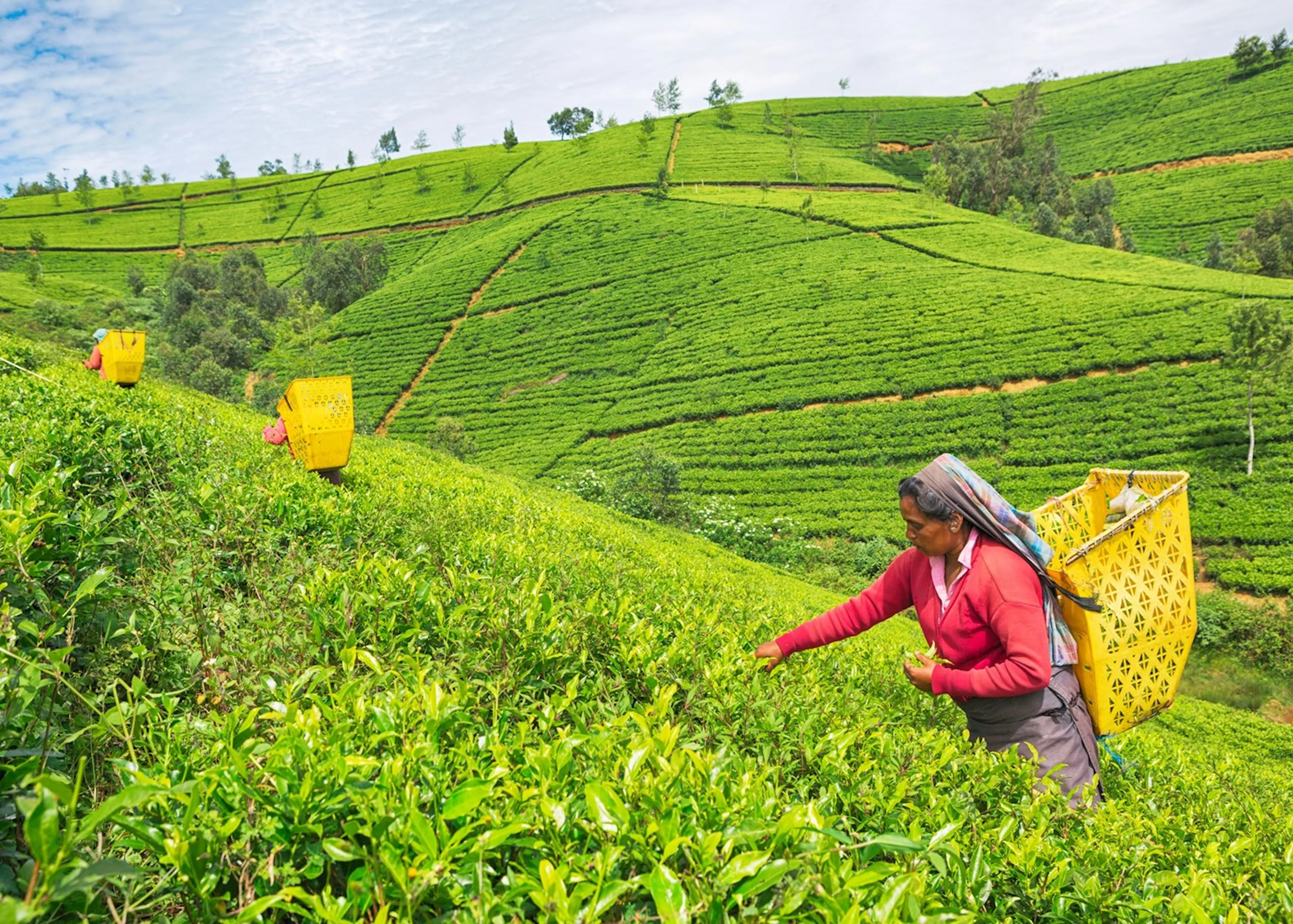
6.9497° N, 80.7891° E
Nuwara Eliya
Cool colonial hill station set among rolling tea estates.
Explore Destination →6.8667° N, 81.0466° E
Uva Province — hill country's favourite village
Best Time to Visit
January to May
Suggested Stay
2–3 nights
Distance
Reached via the Kandy–Ella train line
Coordinates
6.8667° N, 81.0466° E
Overview
Ella is small, walkable, and built almost entirely around its view — green hills rolling down toward the southern lowlands, tea plantations climbing the slopes on either side. Its two icons are the Nine Arches Bridge, a colonial-era stone viaduct that's become one of the most photographed spots in the country, and the short hikes up Little Adam's Peak and Ella Rock, both doable in a morning.
Don't Miss
Time it for a train crossing — check the timetable at your guesthouse, schedules shift.
An easy 1–2 hour return hike with sweeping valley views, good for sunrise or sunset.
A longer, steeper hike — allow 3–4 hours return, best started early.
A roadside waterfall a short tuk-tuk ride out of town.
Getting There
The Kandy to Ella train is one of the most celebrated rail journeys in the world — book reserved seats in advance in high season. By road, it's roughly 3–4 hours from Kandy.
Pair It With
6.9497° N, 80.7891° E
Cool colonial hill station set among rolling tea estates.
Explore Destination →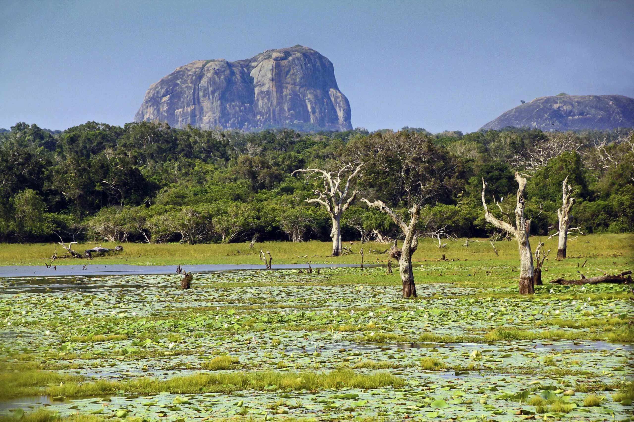
6.3728° N, 81.5183° E
The island's premier safari park — leopards, elephants and open grassland.
Explore Destination →Ready to Plan?
Tell us your dates and interests and we'll fold Ella into a private itinerary — alongside as much or as little of the rest of the island as you want.
Plan My Trip